Attapeu: Laos's Far South-East, Slowly
Most travellers to southern Laos stop at Pakse, loop the coffee plantations, take a boat to the islands and leave. Very few continue a further 153 kilometres south-east to Attapeu, the country's southernmost province, where the road thins out, the markets begin before dawn and the Vietnamese and Cambodian borders sit within a day's reach. It is not a polished destination. It is, for the right traveller, one of the most honest ones left in Laos.
This is a guide to Attapeu as a slow-travel place: what is actually there, how to get to it, what to be careful about, and how to spend three or four unhurried days without pretending it is something it is not. Be aware that published information on this province is thin, and some of it is dated, so treat prices and road conditions as things to confirm locally.
Where Attapeu sits, and why it feels different
Attapeu covers about 10,320 square kilometres and, according to the Lao tourism authority, had a population of roughly 160,000 in 2025. It borders Sekong to the north, Champasak to the west, Vietnam to the east and Cambodia to the south. It is divided into five districts: Samakkhixay (the provincial capital), Xaysettha, Sanamxay, Sanxay and Phouvong.
That geography explains the atmosphere. Attapeu is a frontier province in the old sense. It was a stronghold during the revolution and is nicknamed the "Land of Heroism" locally. Its eastern edge lies along the Ho Chi Minh Trail, and war remnants remain there. The population is a patchwork: the tourism authority lists nine main groups, including the Alak, Katang, Kaleum, Katou, Suay, Nge, Lave (Brao), Tahoy and Nyajeung, and many speak Mon-Khmer languages rather than Lao. You will hear a lot of languages you cannot place, and you should enjoy that.
Note one common confusion. The Bolaven Plateau, which most visitors associate with this corner of Laos, lies mostly in Champasak province, not Attapeu. If coffee, waterfalls and cool mornings are what you want, read our guide to the Bolaven Plateau first and treat Attapeu as an extension, not a substitute.
One request. Up to five tailored proposals.
Skip contacting agencies one by one — share your trip once and let up to five trusted Laos agencies come to you. Free, with no obligation.
Get my free quotesGetting there without rushing
From Pakse, Attapeu town is about 153 kilometres to the south-east. Public buses and minibuses run the route, and the journey typically takes a few hours depending on stops and the vehicle. Pakse has the nearest airport with regular connections, so most visitors fly or travel overland to Pakse first and continue by road. Route 11 leads into the province, and about 17.5 kilometres along it a long bridge crosses the Se Nam Noi river, after which you are in Attapeu territory.
Slow-travel advice for the road:
- Travel in the morning. Afternoon services thin out, and an unplanned night in a roadside town is a poor start.
- Do not expect a timetable you can rely on. Ask your Pakse guesthouse to phone ahead and confirm the departure that day.
- If you hire a vehicle with a driver, agree the price and the stops before leaving, and carry water.
- The onward route from Attapeu to Dak Cheung in neighbouring Sekong is about 176 kilometres, and much of the wider southern network of tracks is unpaved. That is a journey for experienced riders or a 4x4 with a local driver, not a casual day trip.
If you are comparing overland options across the whole country, our guide to where to go and when in Laos helps you place Attapeu in a longer route.
Samakkhixay: a market town in a valley
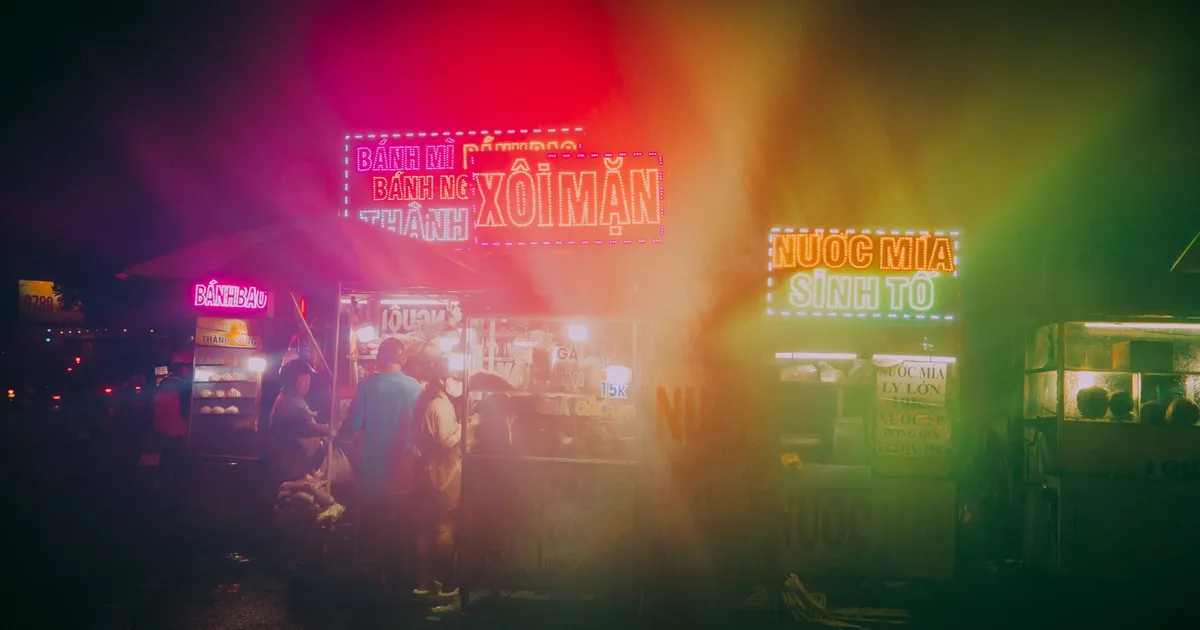
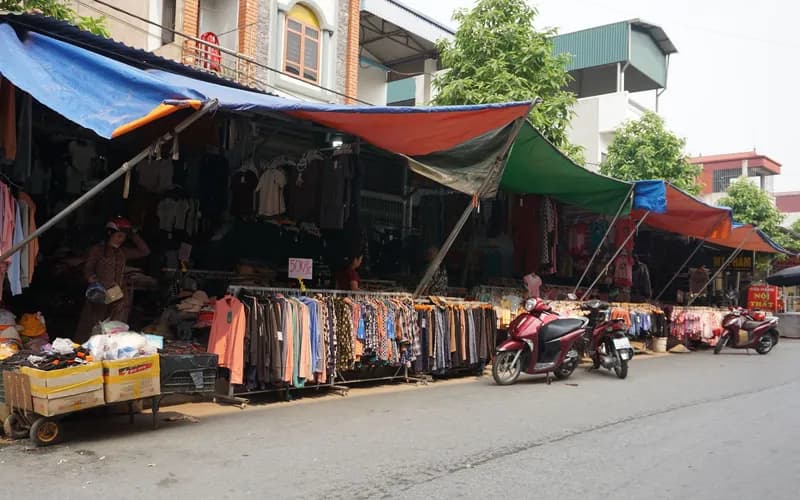
Attapeu town sits in a valley ringed by mountains. It will not charm you at first glance, but the traditional market rewards an early start. Many minority groups bring produce, forest products and handicrafts to sell, and the best hour is soon after sunrise, before the heat and before the stalls thin out. Walk slowly, buy a coffee and something to eat, and watch the trading. This is not staged for visitors.
Craft is the other quiet pleasure. According to the tourism authority, Tailiang crafts include weavings, bamboo baskets, bows and arrows, pipes and jewellery, and traditional pottery includes the large vessels used to ferment lao hai, a communal rice wine. If you buy anything, ask who made it and pay a fair price without bargaining hard; the difference to you is small and to them it is not.
Get matched with up to 5 trusted Laos agencies
- Free
- No obligation
- Up to 5 agencies
Waterfalls and rivers
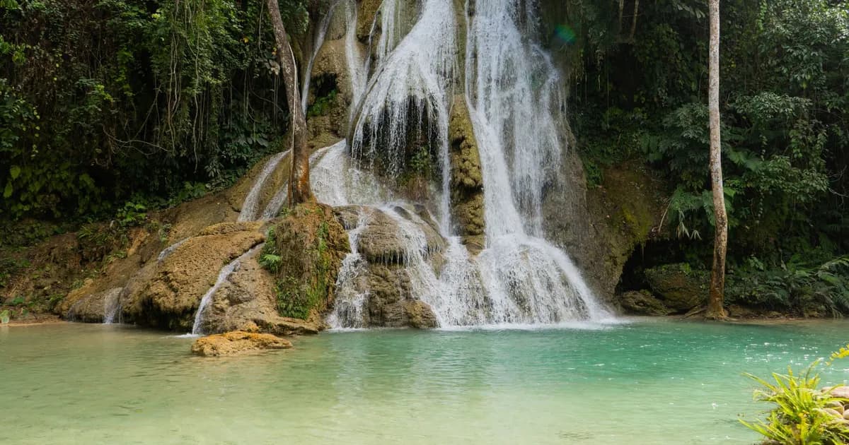
Attapeu's natural attractions are scattered, and several are better with a local guide. The authority lists a handful worth knowing:
- Tad Hua Khon, around kilometre 18, reached by a track heading east from the road. It is roughly 100 metres wide and busy on holidays and weekends, so go midweek.
- Tad Phapong on the Xe Xou river, known for its colourful rocks along the water.
- Tad Saepha, Tad Samongphak and Tad Saeponglaican on the Xe Pian river system, reached on foot or, in the rainy season, by boat with a local guide, for example from Ban Mai.
Distances in rural Laos are always longer than they look on a map, and water levels change the experience entirely. Ask your guesthouse what the river is doing this week.
Protected landscapes: Xe Pian and Dong Amphanh
For nature, the province holds two significant protected areas. Dong Amphanh National Protected Area covers about 1,975 square kilometres in the north-east, with elevations ranging from around 120 to 2,052 metres. Rare species are reported there, including the buff-cheeked gibbon, clouded leopard, tiger and elephant, and about 280 bird species have been recorded. Do not expect to see big mammals; the honest expectation is forest, birdsong and distance.
Xe Pian National Protected Area can be approached via the Xe Kong river along the Cambodian border and then up the Xe Pian river. Access is by boat and requires arrangements with local operators, so ask your guesthouse or a regional agency in advance. Our travel agencies page lists operators who can organise southern itineraries responsibly.
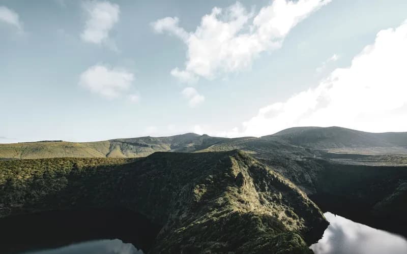
Nong Fa, a volcanic crater lake, sits at roughly 1,200 to 1,500 metres within the Dong Amphanh boundary. Villagers consider it sacred, and its size and depth are described as unmeasured. Once a three-day walk from Sanxay district, it is now reached by a dirt road. Treat it as a sacred place first and a viewpoint second: ask permission, keep voices low, and do not swim or fly drones without clear local consent.
History you should not skip
Attapeu's history runs back to the Lane Xang kingdom. The Saysettha Stupa, in Xaysettha district, dates from 1577 and is associated with the place where King Saysetthathirath is said to have died; its original handmade bricks are reported to contain rice grains. It is modest, but it connects the province to a much older Lao story than the war.
The modern history is heavier. Tad Hua Khon takes its name from a second world war incident in which Japanese soldiers killed Lao soldiers. The eastern districts also bear the marks of the Vietnam war and the Ho Chi Minh Trail, and unexploded ordnance remains a risk in remote areas. Please read our guide to UXO safety in Laos before leaving established paths, and use a local guide in the east.
One more event deserves honest mention. In late July 2018 the wall of the Xe-Pian Xe-Namnoy hydropower dam collapsed, sending flash floods through the province. According to the Red Cross movement, more than 13,000 people were affected and over 6,000 lost their homes. Recovery has taken years, and the human consequences are still part of daily life in some villages. Do not treat affected communities as a spectacle; do not photograph people's homes or hardship without asking, and spend money locally instead.
How long to stay and what it costs
Three nights is a reasonable minimum: one for arrival and the market, one for a waterfall or river day, one in reserve. A fourth lets you add a guided excursion toward the protected areas. Accommodation is basic guesthouse style, so manage expectations about air conditioning, hot water and menus, and bring cash in kip, as card machines are rare outside provincial towns. Our Laos budgeting guide will help you plan a realistic daily figure.
Eating, sleeping and the pace of days
Food in Attapeu is simple and local: sticky rice, grilled fish from the river, bamboo shoot soups, fresh herbs and chilli pastes pounded to order. Markets are the best restaurants, and a morning bowl of noodle soup there costs very little. Evenings are quiet. Many places close early, so eat by seven if you can, and carry a torch for unlit streets.
A slow day here looks like this: market at dawn, a long breakfast, a morning excursion while the air is cool, a rest through the hottest hours, then a short walk by the river before dinner. Resist the urge to tick off every waterfall. One well-understood place, with a guide who tells you its story, is worth more than four visited in a hurry. Bring patience for delays, and a spare day for weather, because rural roads in the rains can change your plans without notice.
If you travel with others, agree early on how you share costs for a driver or boat, because group arrangements reduce the price per person and also reduce the number of vehicles on small tracks.
When to go
The rainy season, roughly May to October, swells the rivers and waterfalls but makes tracks slow and some trails impassable. The cooler dry months from November to February are easier for travel, though waterfalls are thinner. February brings local celebrations: the Alak, Taliang and Ye groups hold Boun Kin Ard, and the Lavae and Oy hold Boun Kin Aleub. Treat these as invitations only if you are asked, and ask before photographing.
What to Do Next
- Decide whether Attapeu fits your route; add at least three nights to a Pakse base.
- Read the Bolaven Plateau and UXO pieces linked above.
- Ask a Pakse guesthouse or regional operator to confirm transport and river conditions a day ahead.
- Carry kip, water, a basic first-aid kit and offline maps.
- Hire a local guide for waterfalls, the east and any protected area.
- Use the plan your journey page to sketch a southern itinerary.
Frequently Asked Questions
Is Attapeu safe for tourists?
Attapeu is generally calm, but the east has unexploded ordnance from the war. Stay on established paths, use a local guide for remote areas and never touch metal objects in the ground. Road safety is the more common concern.
How far is Attapeu from Pakse?
About 153 kilometres to the south-east. Allow a half day for the journey by public transport, and confirm departures locally because schedules change.
Is the Bolaven Plateau in Attapeu?
No. The plateau lies mostly in Champasak, reachable from Pakse. Attapeu lies beyond it, further south-east.
What is Nong Fa?
A volcanic crater lake inside the Dong Amphanh protected area, at roughly 1,200 to 1,500 metres. Villagers regard it as sacred, so visit respectfully and with local guidance.
When is the best time to visit?
November to February is easier for travel. The rainy season fills waterfalls but slows roads and trails.
Can I visit without a guide?
You can see the town and market alone, but waterfalls on the Xe Pian system, protected areas and the east are better with a local guide.
Is it worth the extra days?
If you want crowds, no. If you want working markets, ethnic diversity, forest and a province few visitors see, yes.